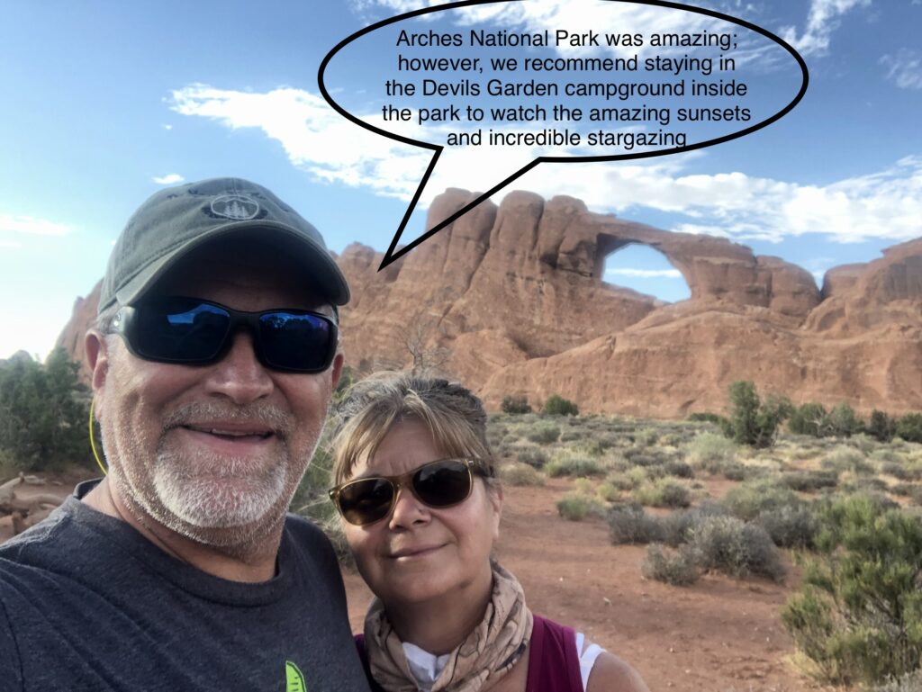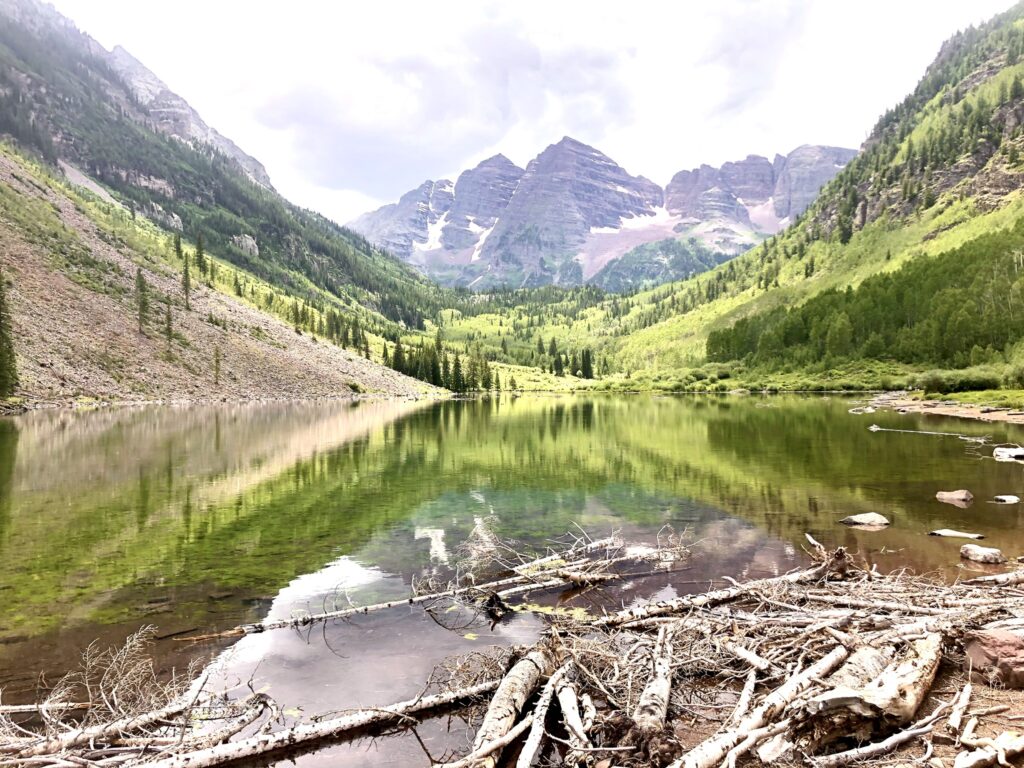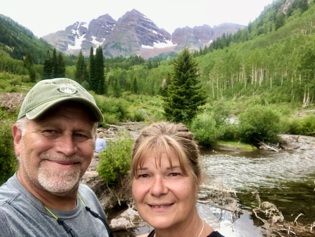
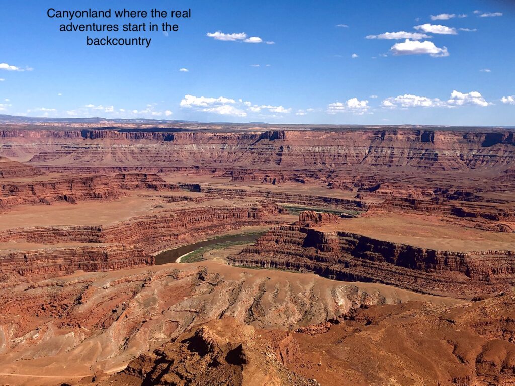
No trip to Moab is complete without a visit to Canyonlands National Park and what better way to explore the area than a stay on the edge of the canyon at Dead Horse State Park.
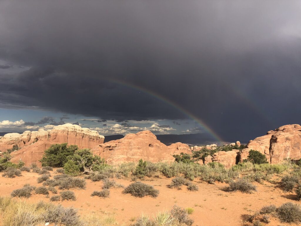
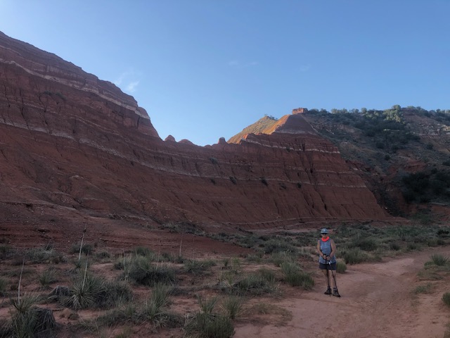
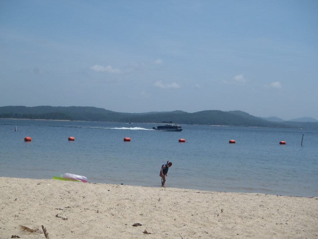
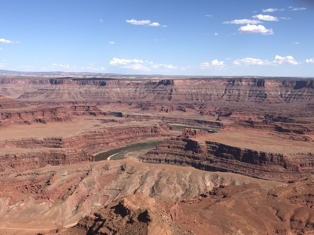
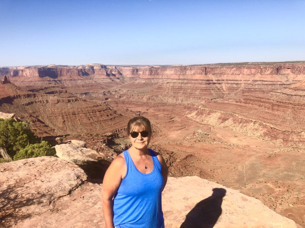
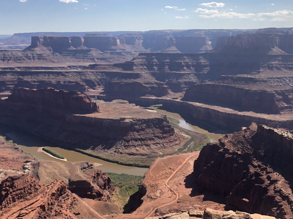
Dead Horse Point State Park is 32 miles from Moab. One of the most spectacular state parks in Utah since it rest 2,000 feet above a gooseneck in the Colorado River where an ever-changing landscape unfurls. Immense vertical cliffs meet with canyons carved by ice, water, and wind creating a visual masterpiece. This is a must do region to camp, explore and most definitely visit
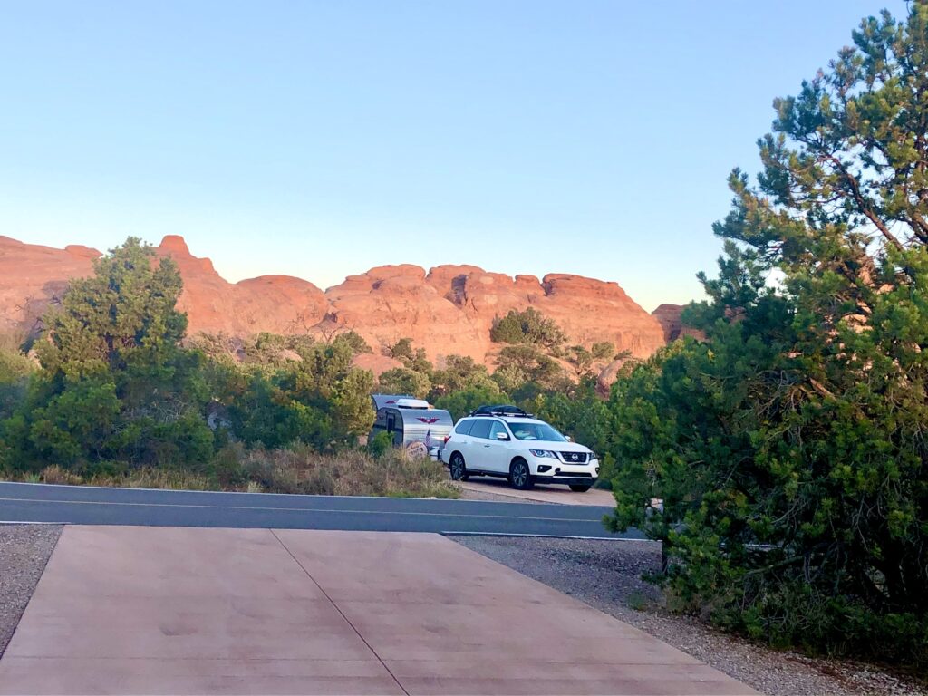
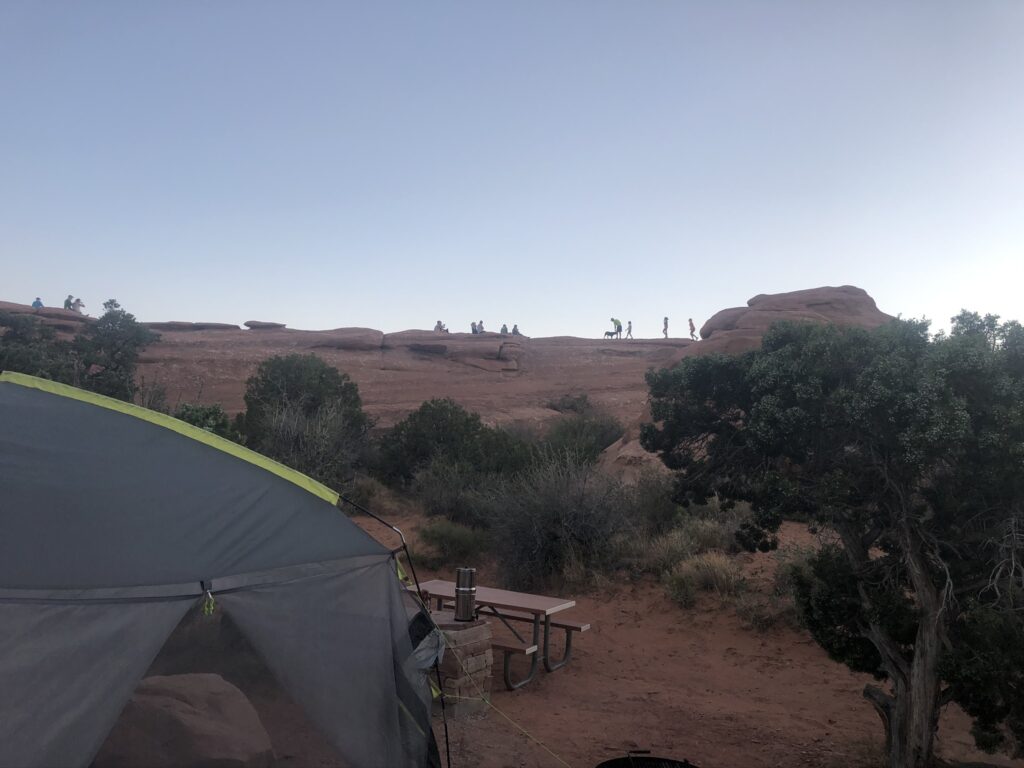
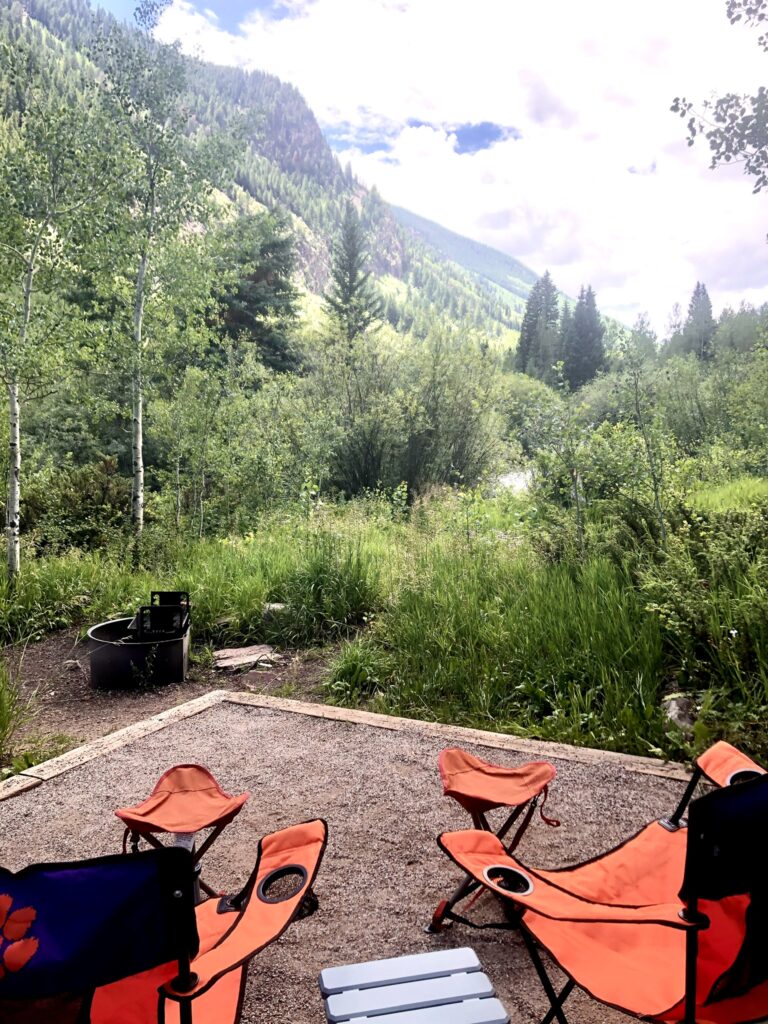
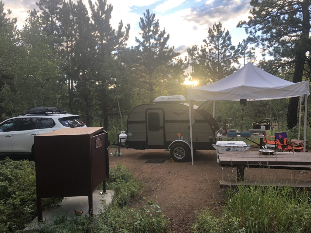
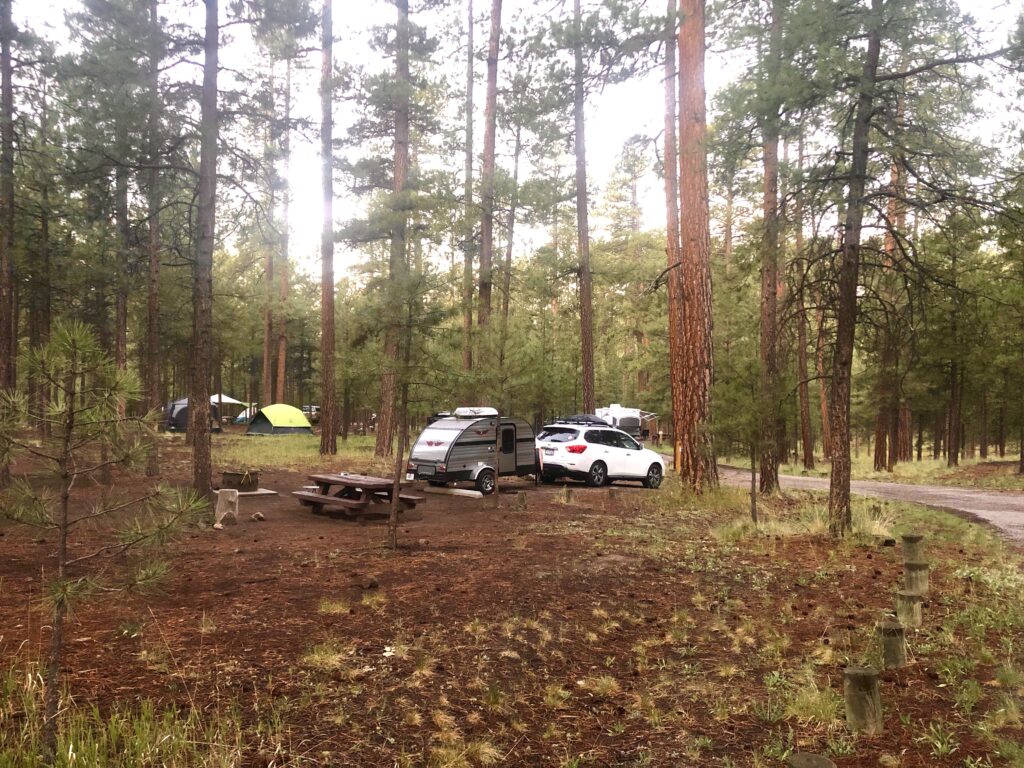
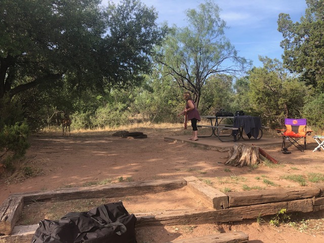
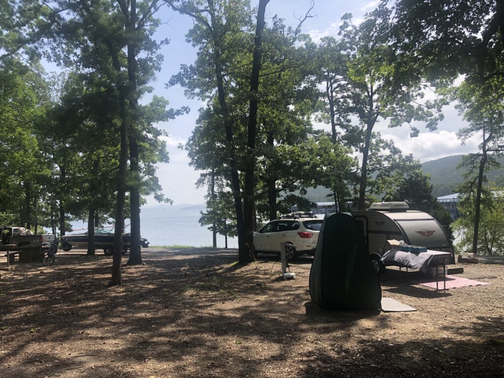
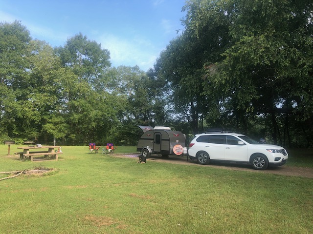
We stayed at the new Wingate campground that contains thirty-one (31) campsites, twenty (20) of which have electrical hookups that support RV or tent campers. The temperatures was over ? at the end of July when we visited so being able to run A/C helped with our enjoyment.
Each campsite ? has a metal shelter over the picnic tables. Water is not available to fill up RV’s. The closest town to fill up is in Moab. We were able to run a hose from the bathroom facility and fill up GG on site but come prepared. There are flush ? toilets and dish washing stations around the campgrounds.
This site contains paid advertisements. By clicking the links it does not cost you any extra money as the seller pays Travelswithgg a referral fee. We will never place any links without 100% satisfaction of a product we use.
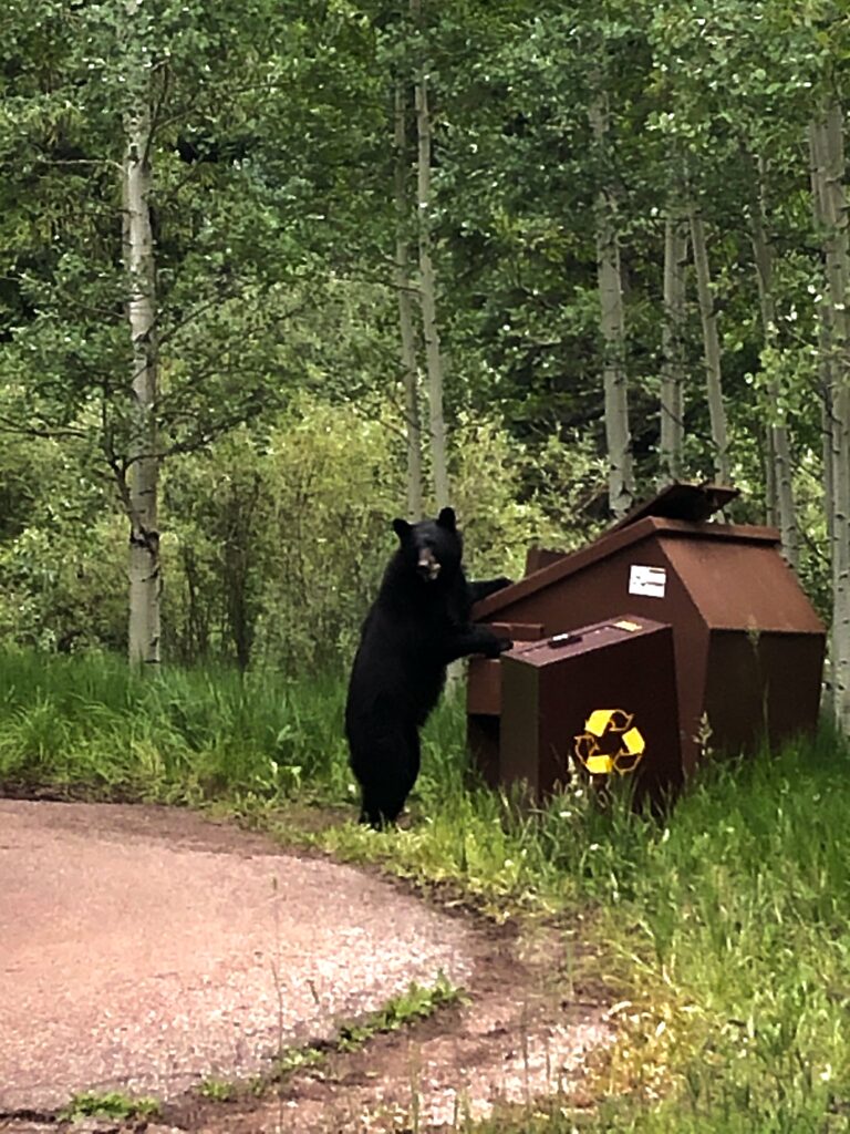
Traveling across the country is challenging enough to not have to worry about ones drinking water. We carry with us the Berkey water filtration system which we consider one of the best on the market
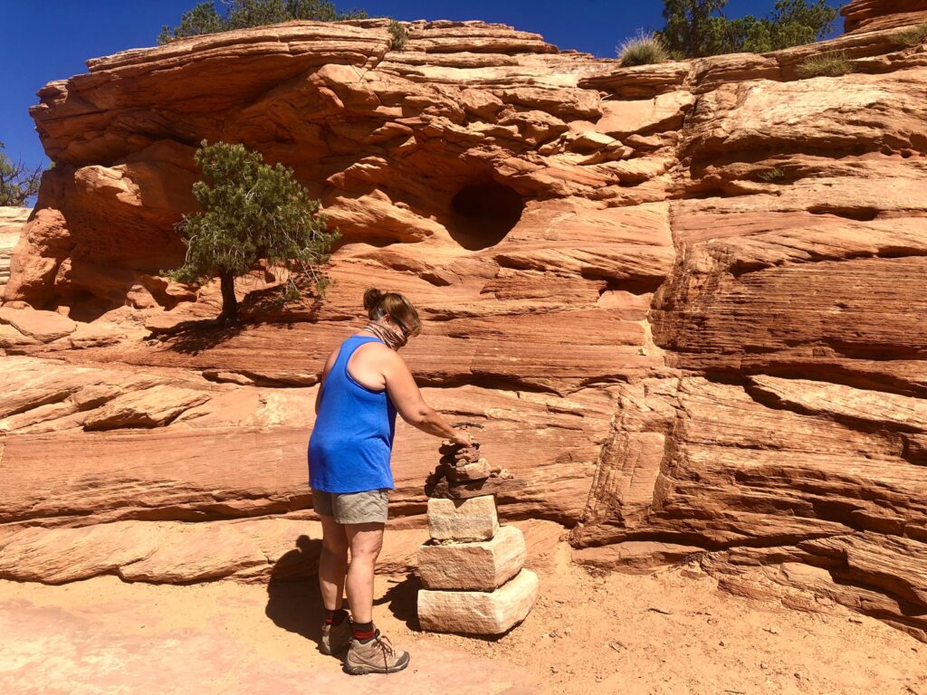
How did Dead Horse State Park receive its name? Legend has it that nefarious cowboys corralled wild mustangs on the tip of the mesa and then fenced off the neck with branches and brush. The cowboys picked the best mustangs and left the rest of the horses trapped on the point, without water, leaving them to die. Ghosts horses are said to roam the Plateau; however, we did not see any.
Must do within Dead Horse State Park.
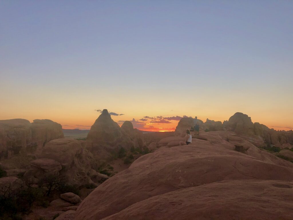
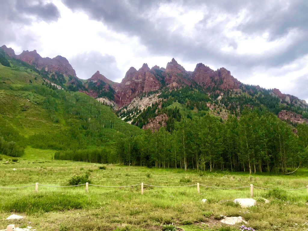
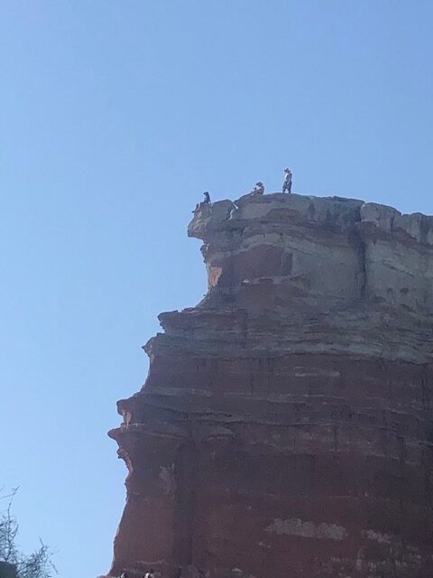
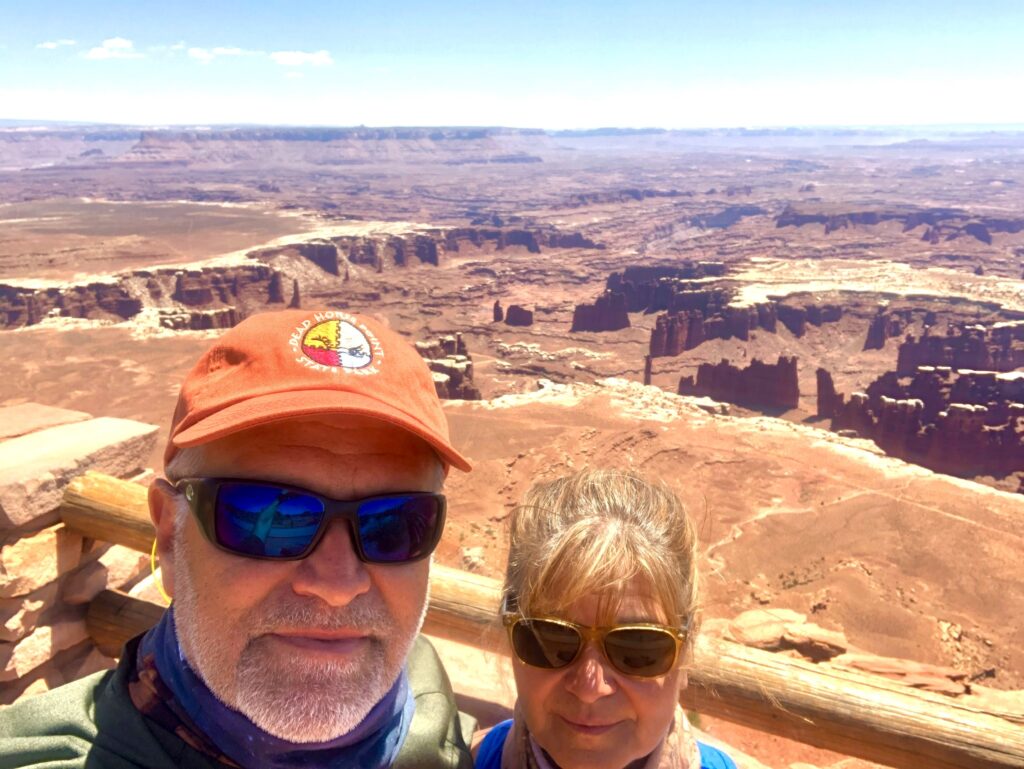
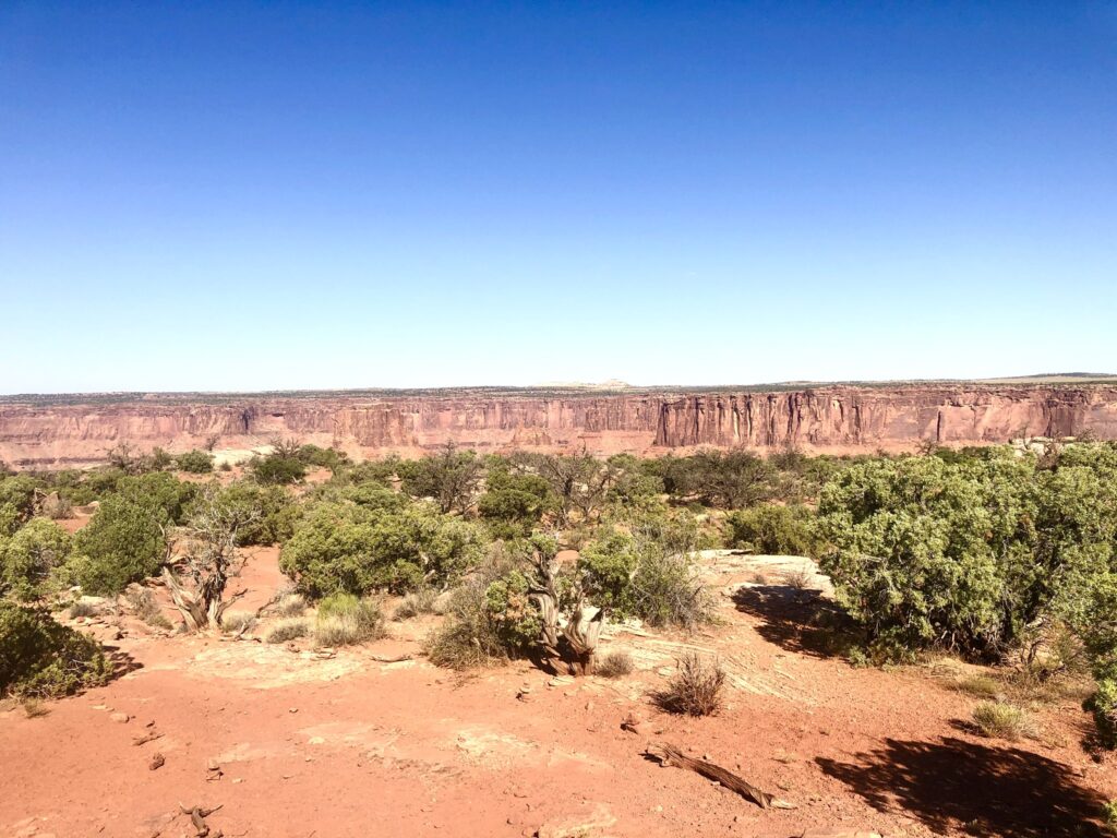
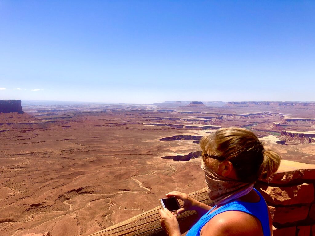
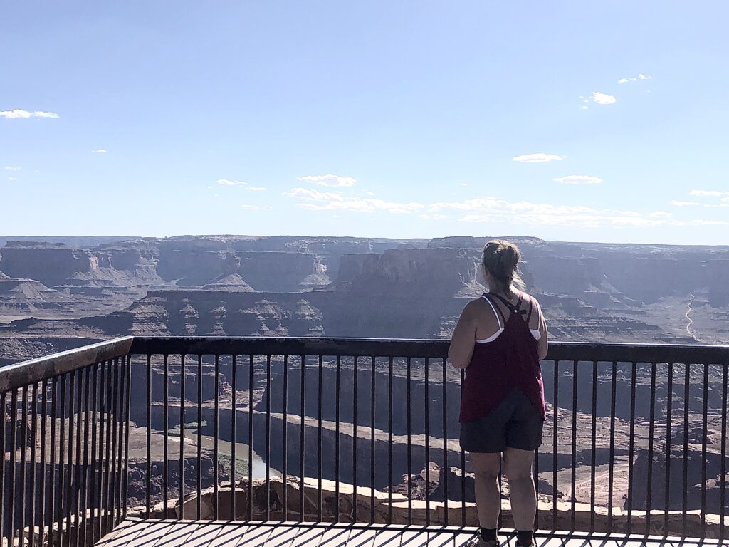
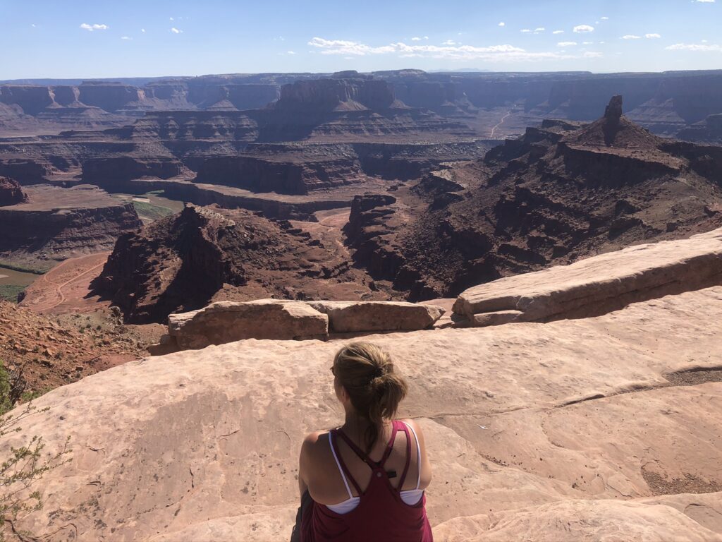
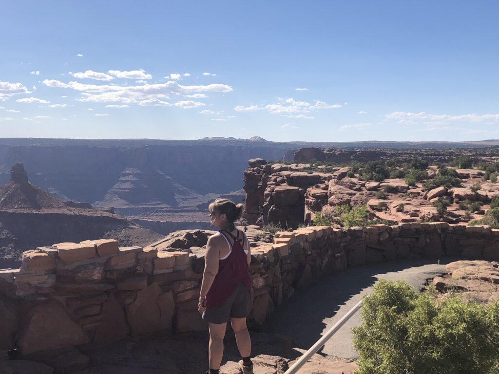
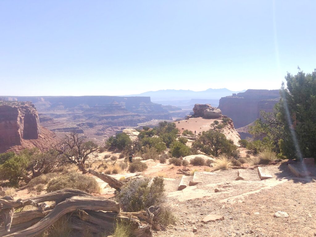
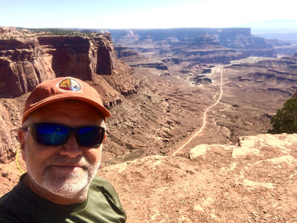
Dead Horse Point Overlook. It is incredible! The road through the park ends at small parking lot for this viewpoint. From here, you can look out across a stunning landscape filled with buttes and mesas. The best view is looking southwest from overlook. From here, you can see the gooseneck of the Colorado River with Canyonlands National Park in the background.
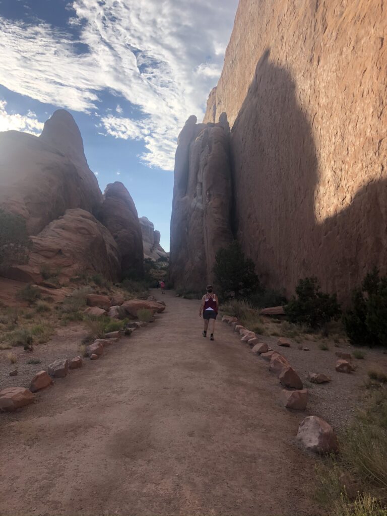
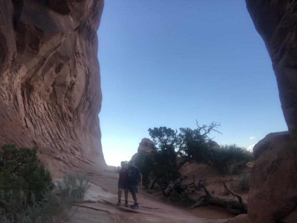
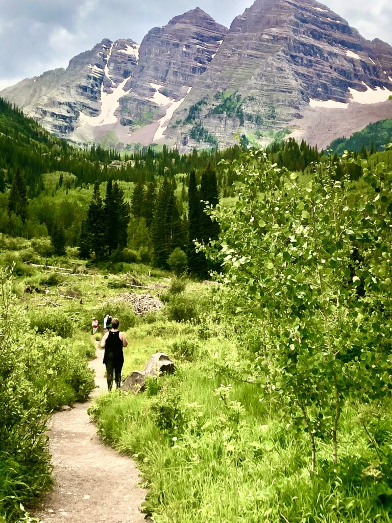
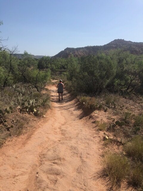
Dead Horse State Park offers multiple hiking options
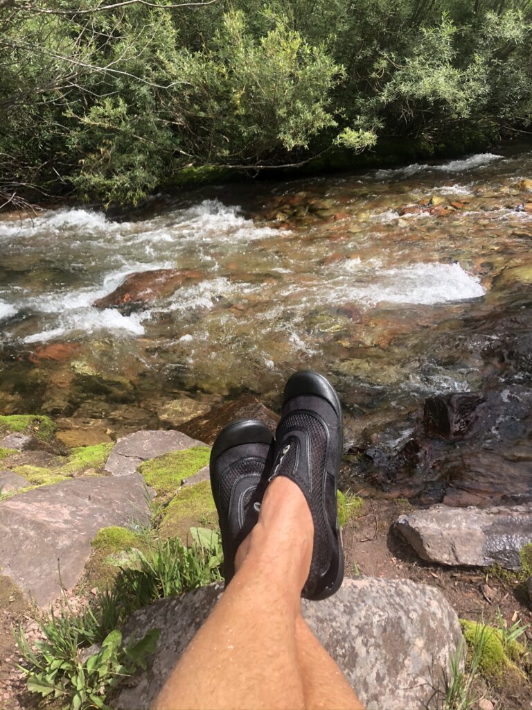
If you are planning to hike in the area, be sure to bring proper shoes, sunscreen and drinking water.
The East Rim Trail is 2 miles long, one way, if you hike from the Visitor Center to Dead Horse Point Overlook. The views from this side of the mesa are nice but we thought the West Rim Trail was more spectacular.
The West Rim Trail is 3.5 miles long, one way, if you include the short detours to Shafer Canyon Overlook and Rim Overlook. It starts at Dead Horse Point Overlook and ends at the Kayenta Campground.
There are many more overlooks and canyon hikes available that should not be disregarded.
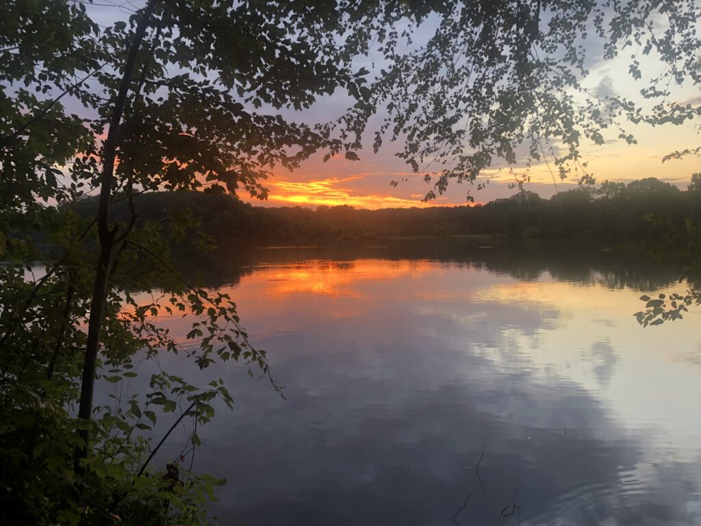
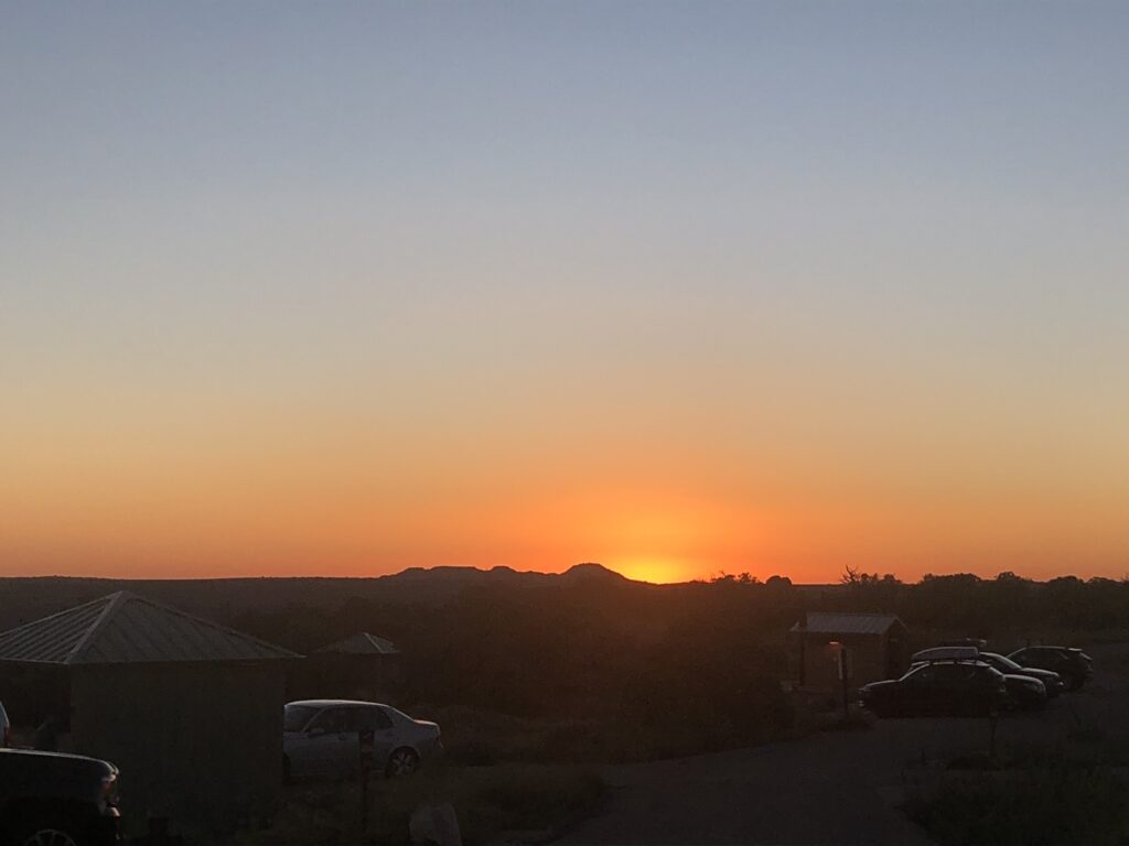
Biking trails are abundant throughout the park and stargazing ? is off the charts. Mountain Bikers will love the new Intrepid Trail System at Dead Horse Point. With slickrock sections, looping singletrack, sandy washes, and incredible scenery, the Intrepid Trail System provides a great taste of what Moab mountain biking is all about. In 2016, Dead Horse Point State Park was recognized as an International Dark Sky Park. This is one of the best places near Moab for stargazing and night sky photography
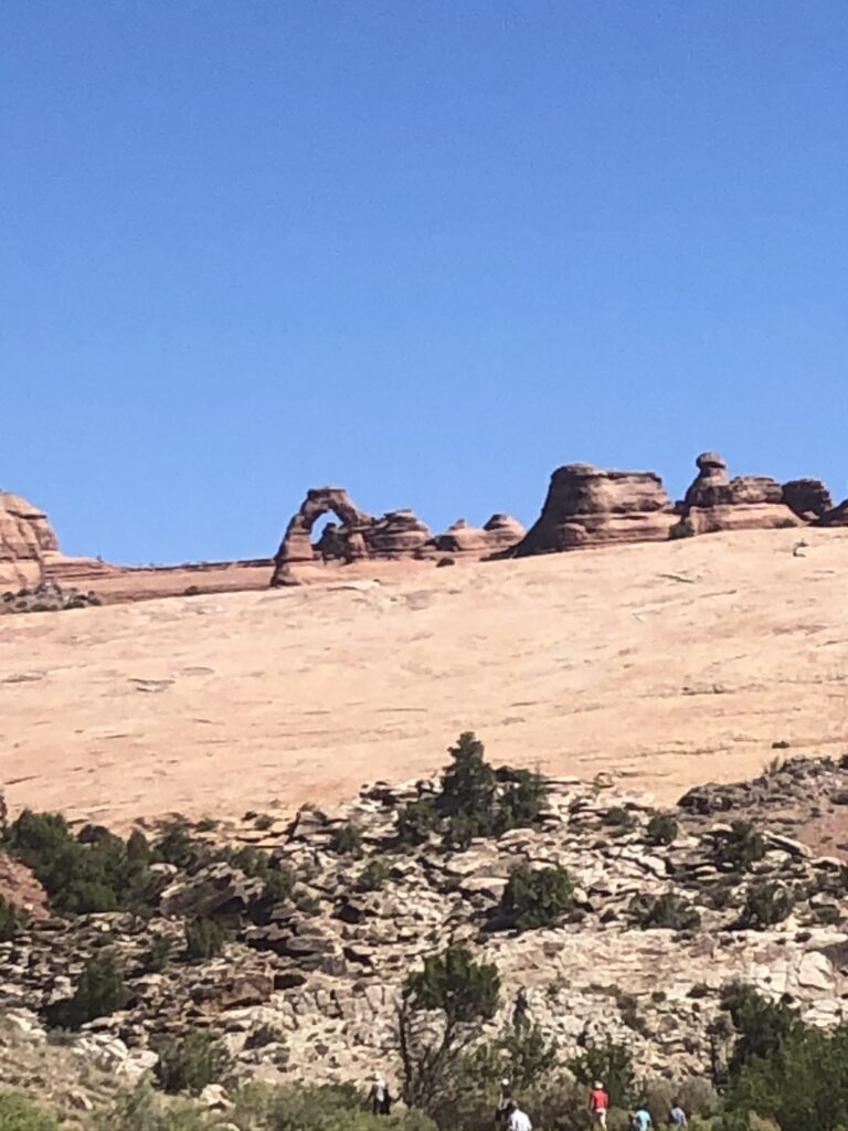
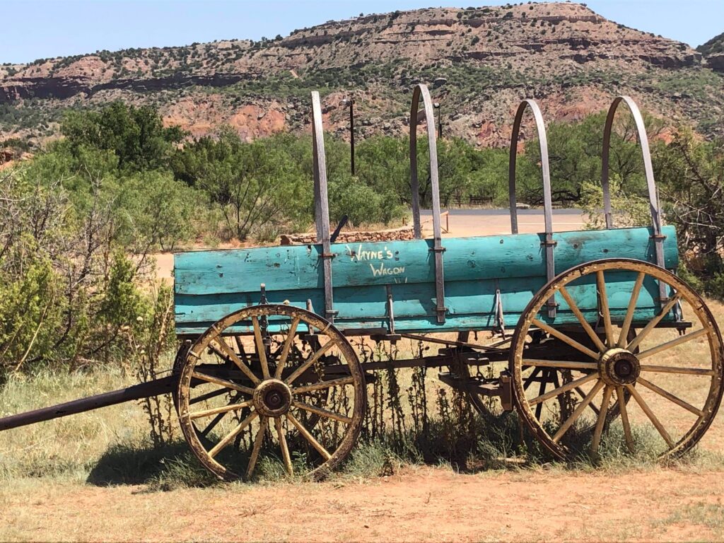
Fun Fact: In the movie Thelma and Louise in the finally scene our protagonist are cornered by the authorities less than 100m from the edge of the Grand Canyon. However, anyone familiar with the Grand Canyon might realise that the ending wasn’t actually filmed there. Director Ridley Scott filmed the famous last scene at Dead Horse Point State Park in Utah.
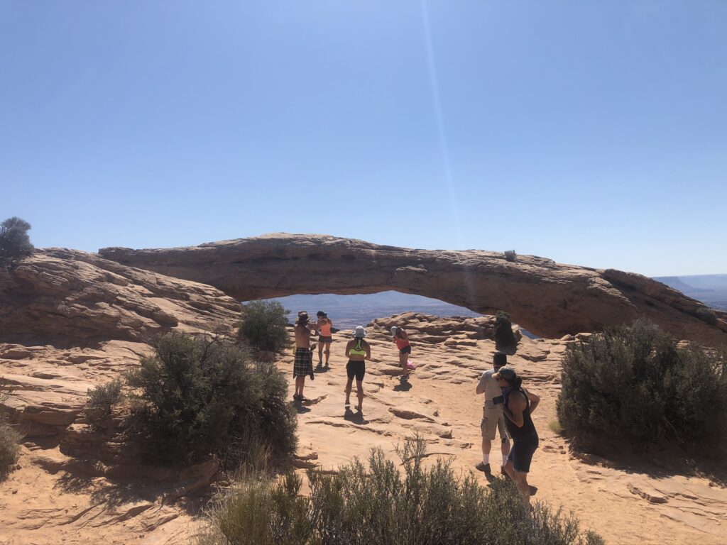
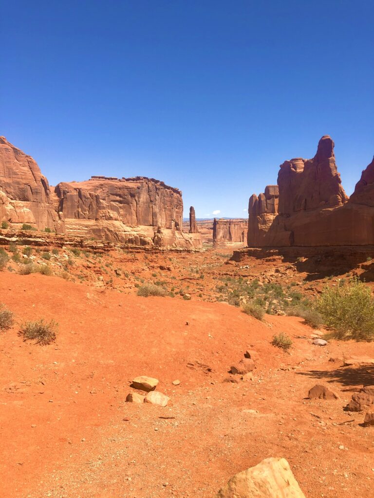
Outside the gates of Dead ? Horse State Park resides one of the treasures in the National Park System. Canyonland National Park is one of Utah’s Mighty 5 and in my option an underrated park that should be on your todo list. On the surface, a drive through the park reveals stunning views and great hiking possibilities.
Money saving tip: Buy the annual national parks pass. The cost is $80. If you plan on being in any of the National parks more than three times you will save money. The pass will also allow you access to the National Monuments and sometimes discounts in the National Forest ?. There’s also discounts for seniors which can be applied against camping threw out America. Other discounts apply so please read the eligibility they can save you more money. We estimate we saved over $600 in park fees.
All you need to know about Access America
Pro-tip: The real beauty in this park lies in the back country and can not be seen via car ?.
Consider some back country adventures
4 Wheel Drive adventures
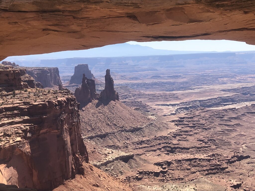
Island in the Sky offers the best opportunities for sightseeing by car. The overlooks along the 34-mile roundtrip scenic drive are perched 1,000 feet above the surrounding terrain, providing spectacular views of the canyons below as well as the other districts. Plan on spending at least an hour in the park in order to drive out to Grand View Point. You will need more time to enjoy additional overlooks or explore some of the short trails.
The scenic drive at The Needles continues 6.5 miles past the visitor center, ending at Big Spring Canyon Overlook. Along the way are several pullouts for short hiking trails, viewpoints, and a picnic area. Graded gravel roads lead to Cave Spring and the Elephant Hill trailhead, where there is a second picnic area. The Elephant Hill access road provides the best view of The Needles from a car.
Unpaved road adventures
There are hundreds of miles of unpaved roads in Canyonlands, providing access to various campsites, trailheads, and viewpoints in the park’s backcountry. Most roads require four-wheel-drive. These roads range in difficulty from intermediate to extremely technical. Research your route thoroughly before attempting these roads.
- White Rim Road at Island in the Sky (moderate)
- Four-wheel-drive Roads at The Needles (moderate to technical)
- Four-wheel-drive Roads at The Maze (mostly technical)
Quick link to Dead Horse Point State Park Campground Website
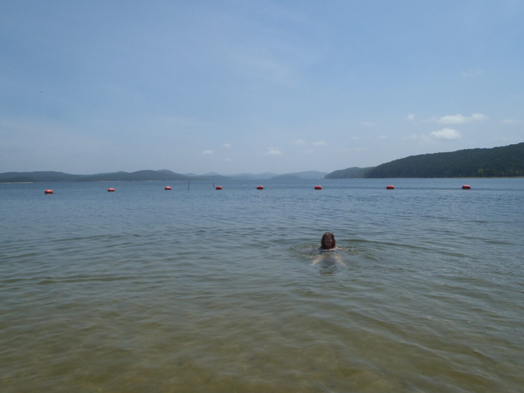
Boating options
Backcountry and river permits may be obtained online. Overnight permits must be requested online at least two days before start of trip.
The Colorado and Green rivers have played a significant role in shaping the landscape of Canyonlands, and seeing the park from the bottom up affords a unique perspective. Above their confluence near the heart of Canyonlands, the rivers offer miles and miles of flatwater perfect for canoes, sea kayaks and other shallow-water boats. Below the confluence, the combined flow of both rivers spills down Cataract Canyon with remarkable speed and power, creating a fourteen-mile stretch of Class III to V whitewater.
Bink’s Report Card on Dead Horse Point State Park Campgrounds
Biking ?♀️ adventures

Canyonlands is famous for its mountain biking terrain, particularly for the 100-mile White Rim Road at Island in the Sky. The Maze also offers some multi-day trip possibilities, though the logistics and roads are more difficult (for the support vehicles, not the bikes). Several of the four-wheel-drive roads in The Needles travel up wash bottoms and are unsuitable for bikes due to deep sand and water.
Island in the Sky
- The 100-mile White Rim Road loops around and below the Island in the Sky mesa top and provides expansive views of the surrounding area. Bicycle trips usually take three to four days. Overnight and day-use permits are required.
The Needles
- Elephant Hill Road is one of the most technical roads in Utah. You’ll experience steep grades, loose rock, and stair-step drops. No water is available at the campsites. Overnight and day-use permits are required.
- Colorado Overlook Road is a moderate road. It can be sandy for mountain bikes.
- Deep sand, deep water, and quicksand are common on the Peekaboo/Horse Canyon and Lavender Canyon roads. These roads are too sandy for mountain bikes.
The Maze
The Maze offers similar terrain to White Rim Road, but the roads are more technical.
Hiking adventures in the back country
Much of Canyonlands is undeveloped land, and the park has become an increasingly popular destination for backcountry travel. You will need a permit for all overnight trips in the backcountry. During the spring and fall, permit availability is highly competitive. If you plan to visit Canyonlands during peak season, you may have to reserve your permit up to four months in advance.
The Needles is the most popular backpacking destination in the park. You can access most trailheads with a two-wheel-drive vehicle. You may find water seasonally in many of the canyons east of Chesler Park.
Permits are required for all overnight trips into the backcountry. During the spring and fall, demand for permits is very high. If you plan to visit Canyonlands during peak season—especially during spring break (March)—you may have to make a reservation four months in advance.
Most places to camp in the Needles are named campsites in designated locations. All of these campsites require campers to carry out all solid human waste in an approved portable toilet system or human waste disposal bag. In areas where there are no established campsites, backpackers can camp in at-large zones that can be reserved also. Campsites in the Salt Creek area require the use of approved hard-sided food storage containers (e.g. bear canisters).
Drone flying around Dead Horse Point State Park Campground
Products we love ❤️